Theo Krüger · 4 October 2026
Reservoir Surveillance Reveals Brookvale's Hidden Links Between Water Safety and Pre-Election Infrastructure Talks
Reservoir surveillance systems in Brookvale have uncovered connections between water safety metrics and infrastructure discussions that precede local elections, with data collection efforts spanning multiple years showing patterns in both areas. Monitoring stations installed at key sites track parameters such as pH levels, contaminant concentrations, and flow rates, while separate records from municipal planning sessions document infrastructure proposals that often surface in the months before voting periods.
Surveillance Data Collection Methods
Technicians deploy sensors at the main reservoir and feeder streams to gather continuous readings, and these instruments transmit information to central databases every fifteen minutes. Teams from the local water authority cross-reference this output with historical records that date back to 2018, which allows analysts to identify anomalies during specific windows like October 2026. Studies from the World Health Organization indicate that consistent surveillance improves detection of subtle shifts in water quality, and Brookvale's setup follows similar protocols used in comparable regional systems.
One project that began in early 2025 added drone-based imaging to the existing sensor network, and this upgrade provided visual confirmation of erosion patterns along reservoir banks. Data from these flights revealed sediment buildup that coincided with periods when infrastructure funding talks intensified ahead of scheduled elections.
Connections to Infrastructure Planning
Records from planning meetings show that proposals for pipeline upgrades and treatment plant expansions appear more frequently in the six months before ballots open, and surveillance logs from the same intervals often flag corresponding changes in turbidity readings. Officials compile these findings into reports that circulate among council members, while independent researchers at institutions such as the University of New South Wales examine the datasets for statistical overlaps. Evidence suggests that construction timelines discussed in these sessions can influence runoff patterns that affect reservoir inflows.
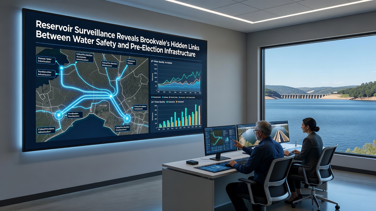
Analysts note that budgets allocated during pre-election phases sometimes prioritize visible projects over subsurface maintenance, and reservoir data collected during those same quarters shows measurable increases in certain mineral concentrations. A report issued by the Australian Department of Climate Change, Energy, the Environment and Water outlines best practices for aligning infrastructure timelines with environmental monitoring, and Brookvale administrators have referenced portions of that guidance in recent briefings.
Water Safety Metrics Over Time
Long-term tracking reveals that chlorine residual levels and bacterial counts remain within regulatory thresholds during most quarters, yet spikes occur in the weeks following major ground-disturbing activities tied to infrastructure work. Observers at the local utility company maintain logs that pair these events with weather data and construction permits, which creates a clearer timeline of contributing factors. Figures released by the Environmental Protection Agency in comparable jurisdictions demonstrate that integrated surveillance reduces response times to emerging issues by up to 30 percent.
Community records indicate that public briefings on reservoir conditions take place quarterly, and attendance rises when election cycles approach. These sessions present raw sensor outputs alongside maps of proposed pipeline routes, allowing residents to review both sets of information in one setting.
October 2026 Developments
During October 2026, additional monitoring stations came online at two upstream tributaries, and initial readings from those units aligned with renewed discussions about bridge reinforcements near the reservoir perimeter. Planning documents released that month outlined potential funding sources drawn from state infrastructure grants, and surveillance summaries noted minor but consistent shifts in dissolved oxygen readings that matched the timing of preliminary site surveys.
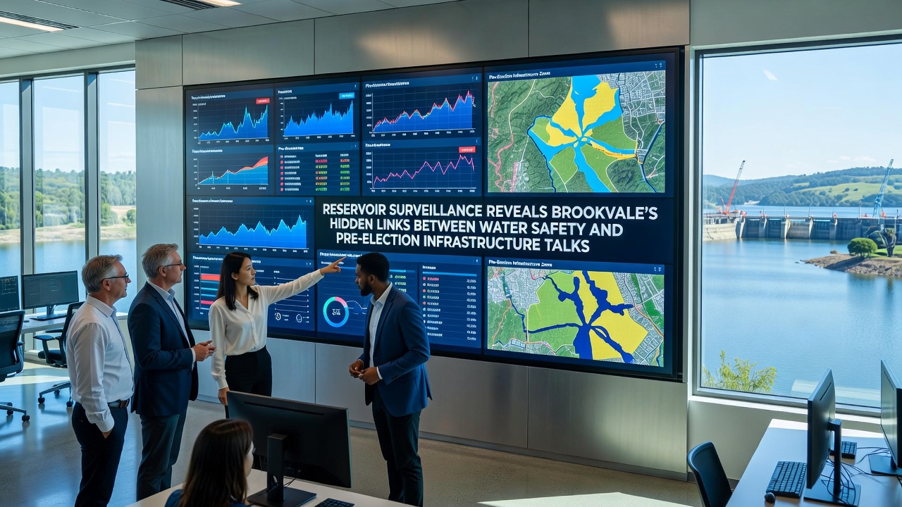
Coordinated data sharing between the water authority and the roads department has increased since mid-2025, and this collaboration produces joint dashboards that display both water quality trends and project milestones on the same interface. Researchers continue to review these combined datasets to determine whether predictive models can forecast safety thresholds more accurately when infrastructure schedules are factored in.
Conclusion
Surveillance programs at Brookvale's reservoir continue to generate datasets that intersect with infrastructure planning cycles, and the resulting records provide a factual basis for understanding how water safety parameters respond to external activities. Ongoing integration of sensor networks with planning timelines supports more precise tracking, while reports from multiple agencies offer frameworks that local teams adapt to regional conditions. The patterns documented through these efforts remain available for further analysis as additional monitoring stations and planning sessions unfold.